Gilesgate
Gilesgate is a suburb of the City of Durham, less than a mile to the east of the centre. It is a pretty place, but is just a bit too far out to get the tourists. I had driven through it a few times; today I got the chance to stop.
At the eastern end is the Queens Head, where the road forks, to become Sherbuin Road and Sunderland Road.

On the other side, are these houses.

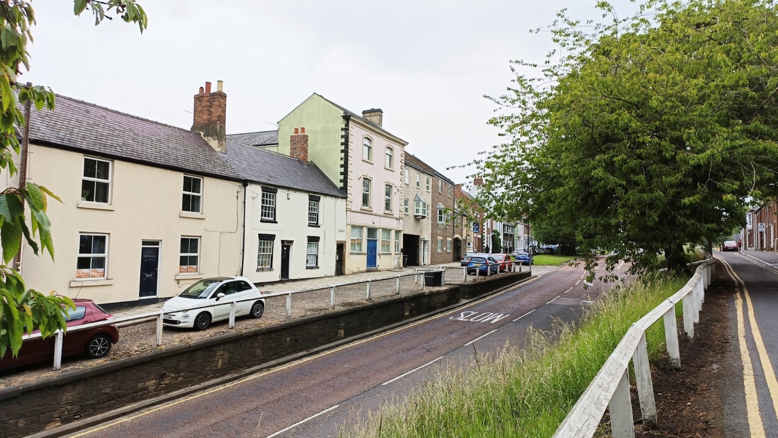
As we head west, there is an open area on the south side.


The blue plaque is for Daisy Edis, a pioneering photographer active from 1901 to 1964.
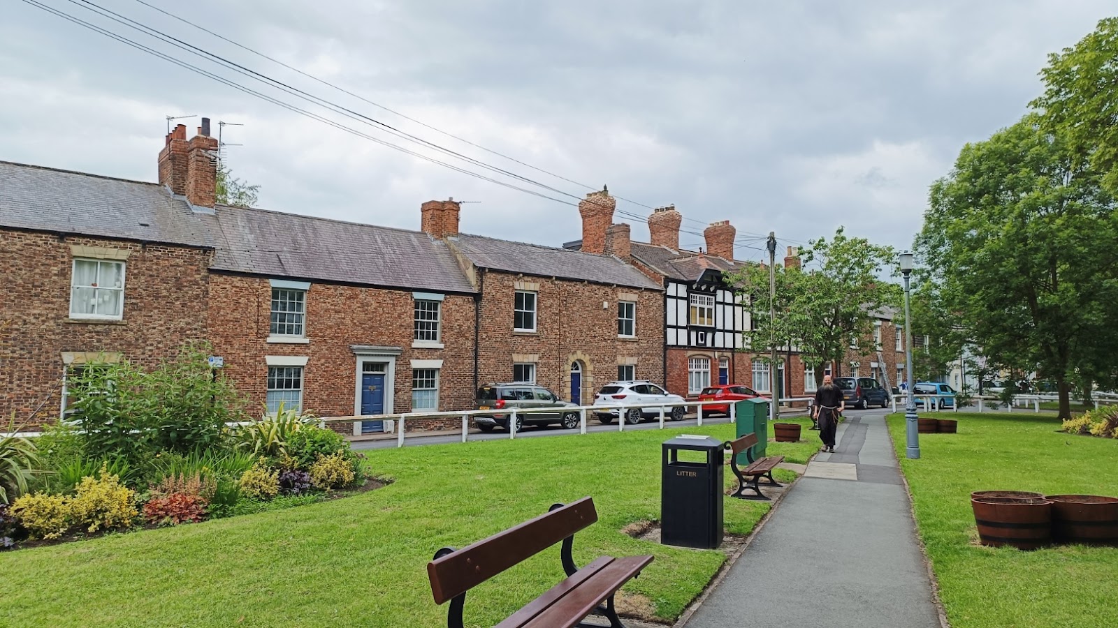
Back on the north side; you can see this is an eclectic mix of houses.

As we get further west, the road slopes downwards. The houses do too, but so not quickly.

The church of St Giles is set back from the road a bit, and easy to miss. Very modest compared to the cathedral. It was built in 1112, as a chapel for the hospital; no other part of the hospital survives. The road takes it name from the hospital.

The church hall is not so quaint.

Back to the road as it continues to descend.
Further down, you can see the cathedral on the skyline.

At this point the A690 crosses Gilesgate. The A road has replaced Gilesgate as the main route east out of the city. They meet at a large roundabout, and Gilesgate continues 250 m, before becoming Claypath, which takes you to the market square.
A short distance east of the roundabout the A690 follows the course of an old railway which brought trains from Darlington to a station at Gilesgate. This is looking east along the A690, towards the cathedral, approximately where the road has left the course of the railway. Again, the cathedral is visible.

The station closed to passengers in 1857, when the current station opened. However, it remained in use for goods until 1966, and the building is still extant, and in use as a hotel.


Comments
Post a Comment