Alston
Alston is a pretty village in Cumbia - though well east of the Lakes. It claims to be the highest market town in England at 1000 feet above sea level, sharing the title with Buxton. It is an isolated town - for England - with the nearest neighbour over 16 miles away by road.
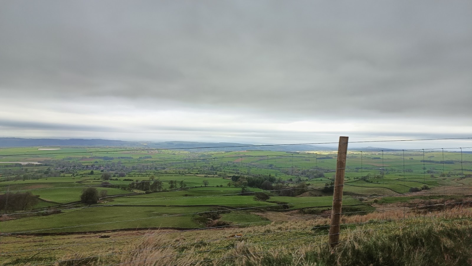
It is northeast of Penrith, and the nearest motorway, and the road goes over Hartside summit, 1903 feet above sea level. It is not a road to try in bad weather, but on a nice day you do get wonderful views over the Eden valley.
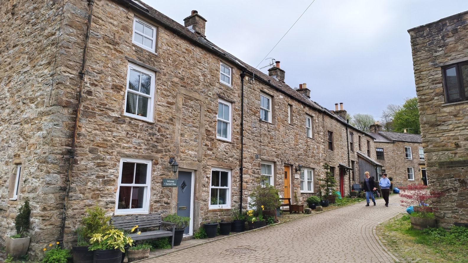
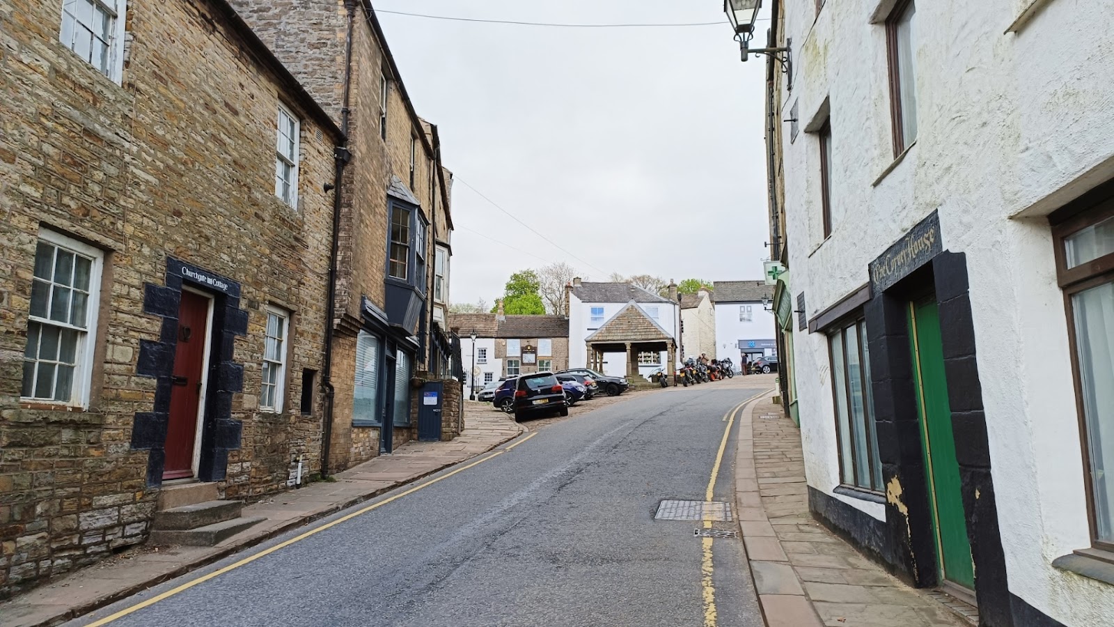
We parked near the market cross, and headed up Front Street. And I do mean up... The town is built on a hill side.


On the other side was a post office. the pillar box says "GR" on it, making it over 70 years old.

This interesting building was the Carlisle and Cumberland Bank, apparently rebuilt in 1898.

A bit further up is the Quakers meeting house, dating from 1732.

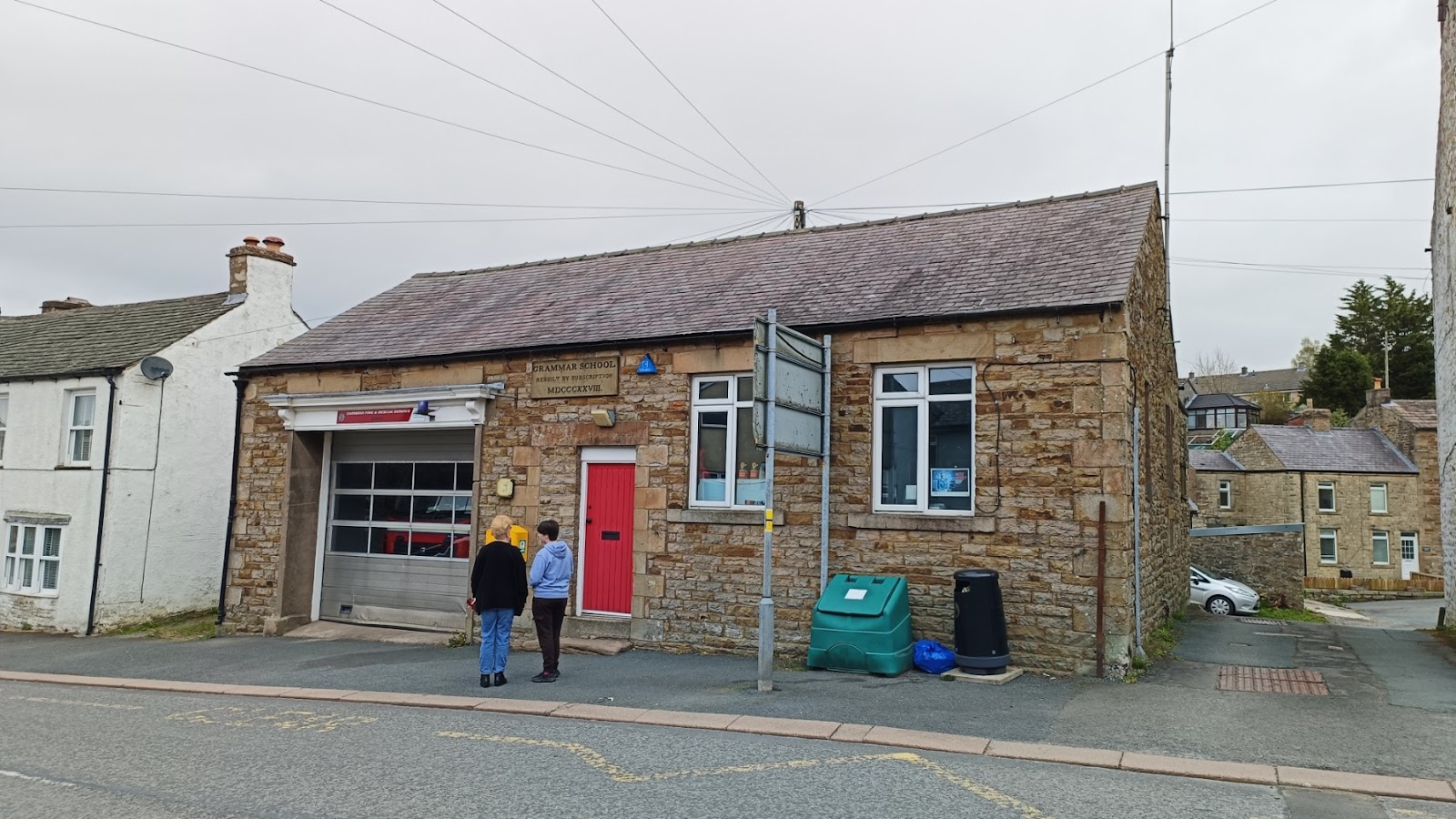
On the other side is the old grammar school, converted into a fire station. I cannot imagine there are many examples of that particular conversion.
The Swan's Head stands next to the old Methodist chapel.

This was as far as we ventured in this direction. The road soon splits, the A689 going to Durham, and the B6277 to Barnard Castle.
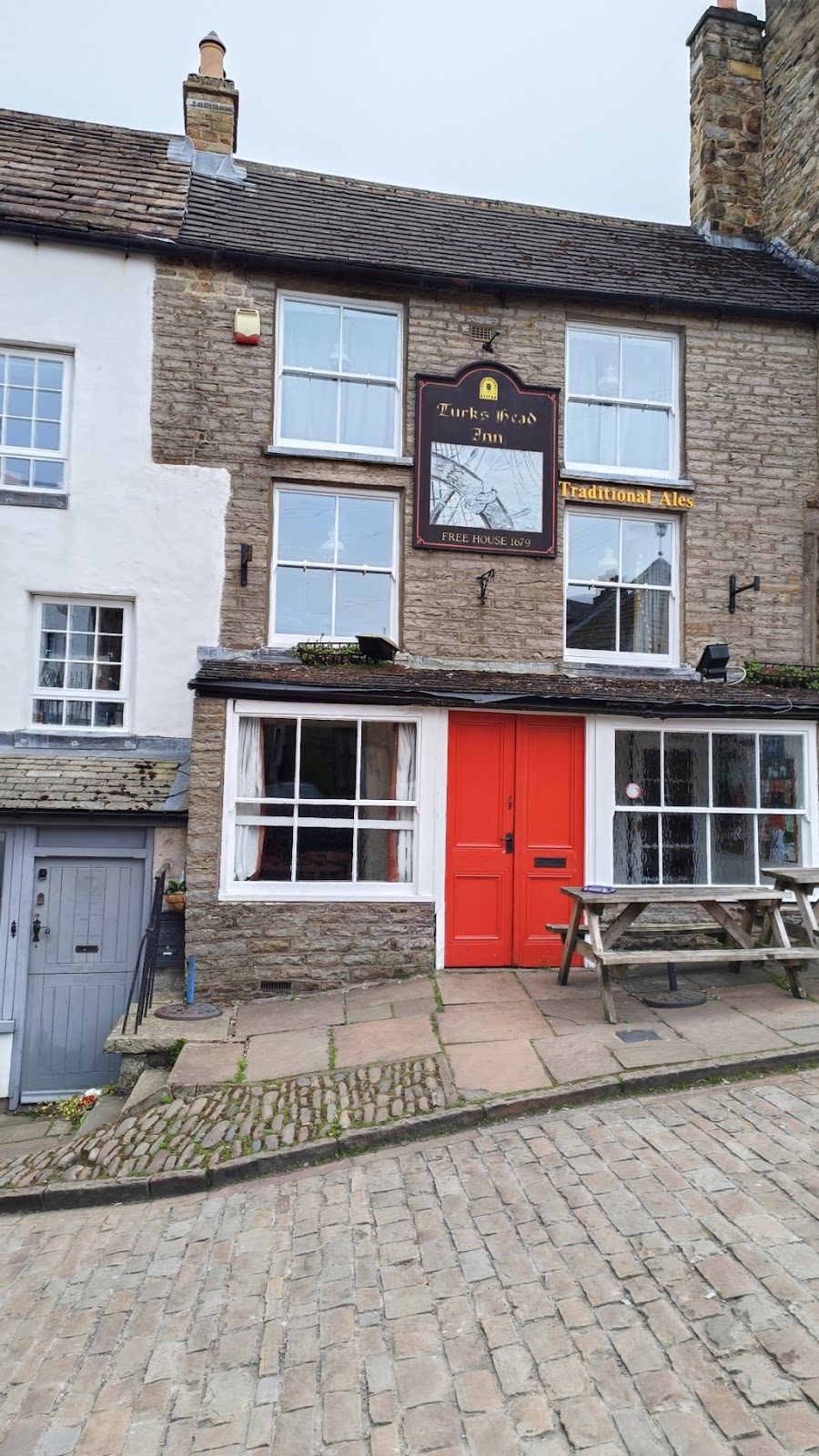
Back to the market cross...

Behind it is the Turk's Head Inn.
Front Street turns sharply to the left, but we headed down the Butts.

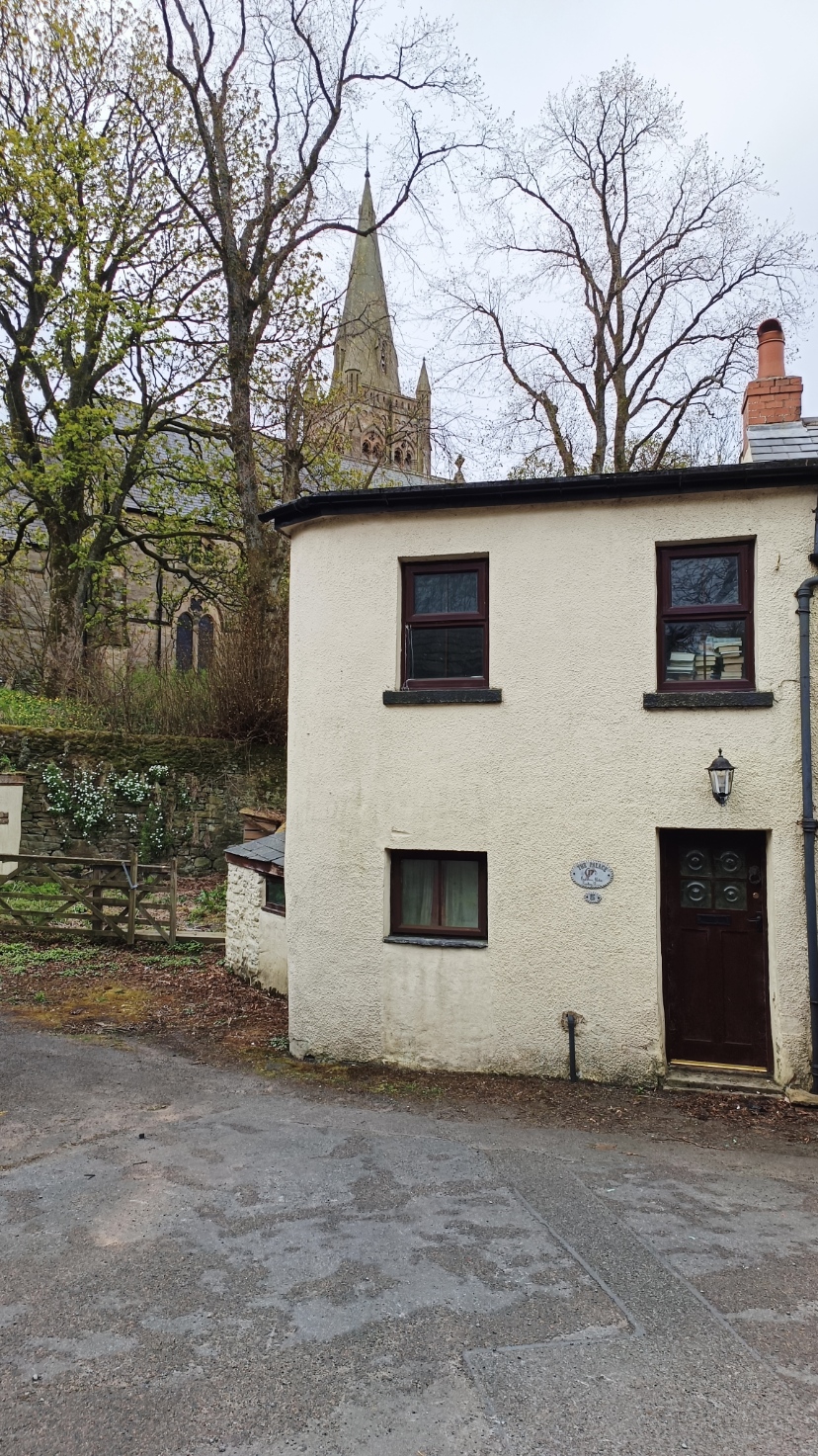
This took us round the back of the church. The name of the house is "The Palace", and I assume is ironic.
At some point the Butts became King's Arms Lane, and we passed what used to be the Salvin Schools. This was two infants' schools in one building - one for boys, one for girls - set up in the 1840s.

King's Arms Lane circles round to join with Front Street again, but we went down some steps to Station Road. Looking up the hill at the church again.

Station Road crosses the River Nent, just before it joins the River South Tyne.
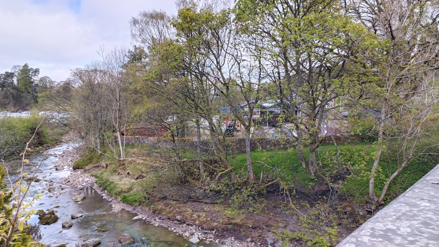
And just after the bridge is the old railway station. This was the terminus of a line to Haltwhistle, and opened in 1852. The lack of a good, all-weather road saved it from Beeching, but improvements to the roads led to it being closed in 1976.

There is now a preserved railway here. It has been converted to narrow gauge, and so far runs five miles to Slaggyford. A train was just leaving when we got there.

Heading back towards the centre, we continue from the bottom of Front Street, where it meets Station Road. This is where the road from Penrith goes, heading past the war memorial and the Blue Bell Inn (which I think is closed).

Heading up Front Street, this end is just as steep.

And on the other side, an imposing Town Hall for such a small town.

Looking back down the hill...

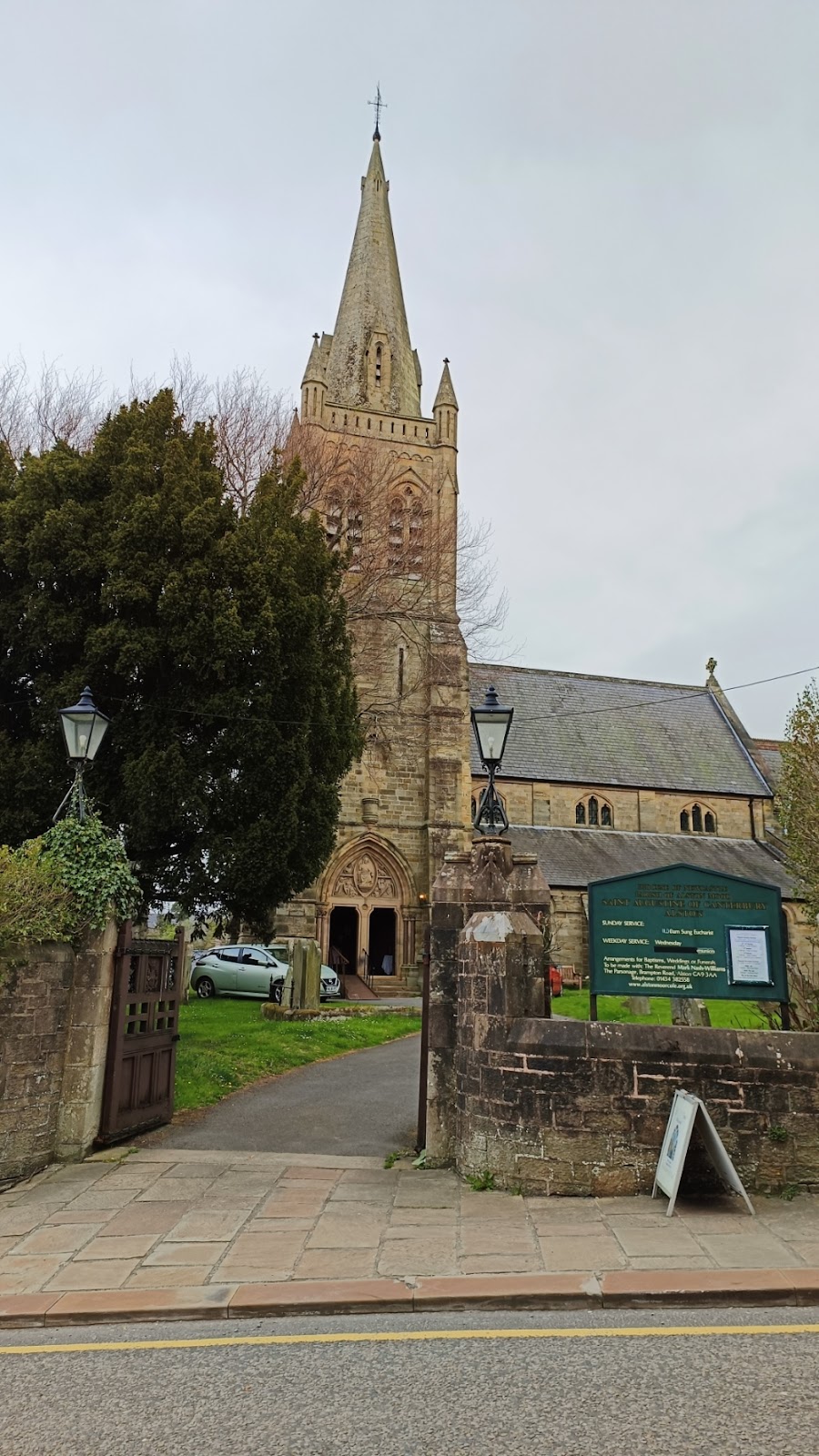
Finally see the front of the Church of St Augustine of Canterbury.
And finally back to the market cross.


Comments
Post a Comment