River Irk, Manchester
Manchester is not known for its rivers; most are hidden away. However, it was the rivers that provided power for the waterwheels of the mills originally, and later supplied the steam engines. The most important is the Irwell, which nowadays flows into the ship canal.
The River Irk rises near Royton, which is just north of Oldham, about 7 miles northeast on Manchester. I walked a short bit of its length. It is not a walk I would recommend for others, but it has a number of sights that I found interesting.
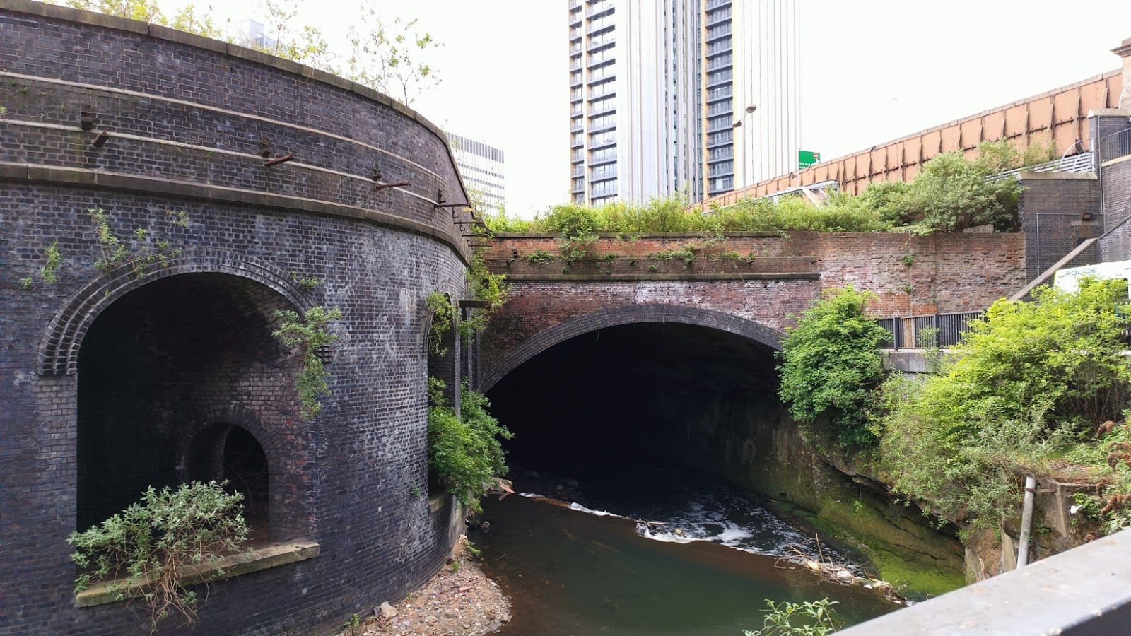
The river flows into the Irwell behind the cathedral. In the image, the Irwell is flowing from left to right, and the tunnel in the centre is the Irk.

To the bridge to the left is the railway as it approaches Manchester Victoria Station...

The river flows under the station, which was built by the Lancashire and Yorkshire Railway 1844. It became seriously run down from the middle of the last century, but was renovated when Metrolink arrived. Today the interior is a bizarre mishmash of the old and new.

As is the exterior.

A short walk along Corporation Street takes us to the Ring Road, and this impressive Victorian building, where we turn left to cross the railway.

Across the bridge on the right is a set of steps down, and from the top you can look down on the railway. The nearer lines are the "real" railway, heading to Rochdale and Stalybridge and beyond. The further lines are trams to Oldham and Bury, which have to cross the other lines a bit further on.

The arches must at some point supported railway infrastructures - sidings of some sort.
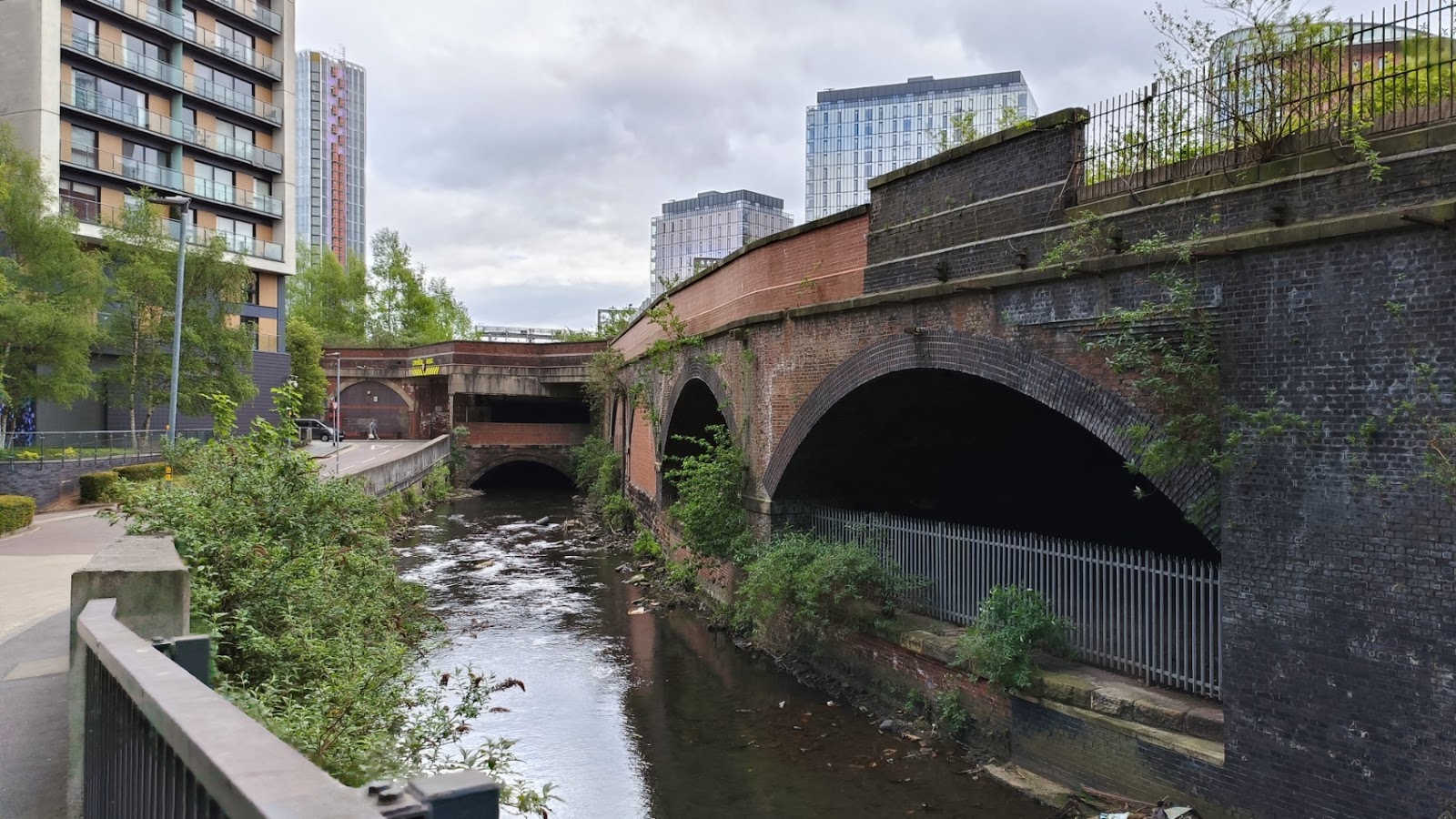
At the bottom of the steps, you can look back and see when the River Irk disappears underground.
And looking up stream, where it appears from another tunnel. The road on the left is Scotland. Not Scotland Street or Scotland Road, just Scotland.
The tunnel is where the river goes under a road, Red Bank, which in turn is under a now disused railway. This was (I think) the original route from Manchester Victoria to Bury, though passenger trains were using what is now the tram route well before MetroLink was thought of, and I would guess this was used for freight for most of its life.
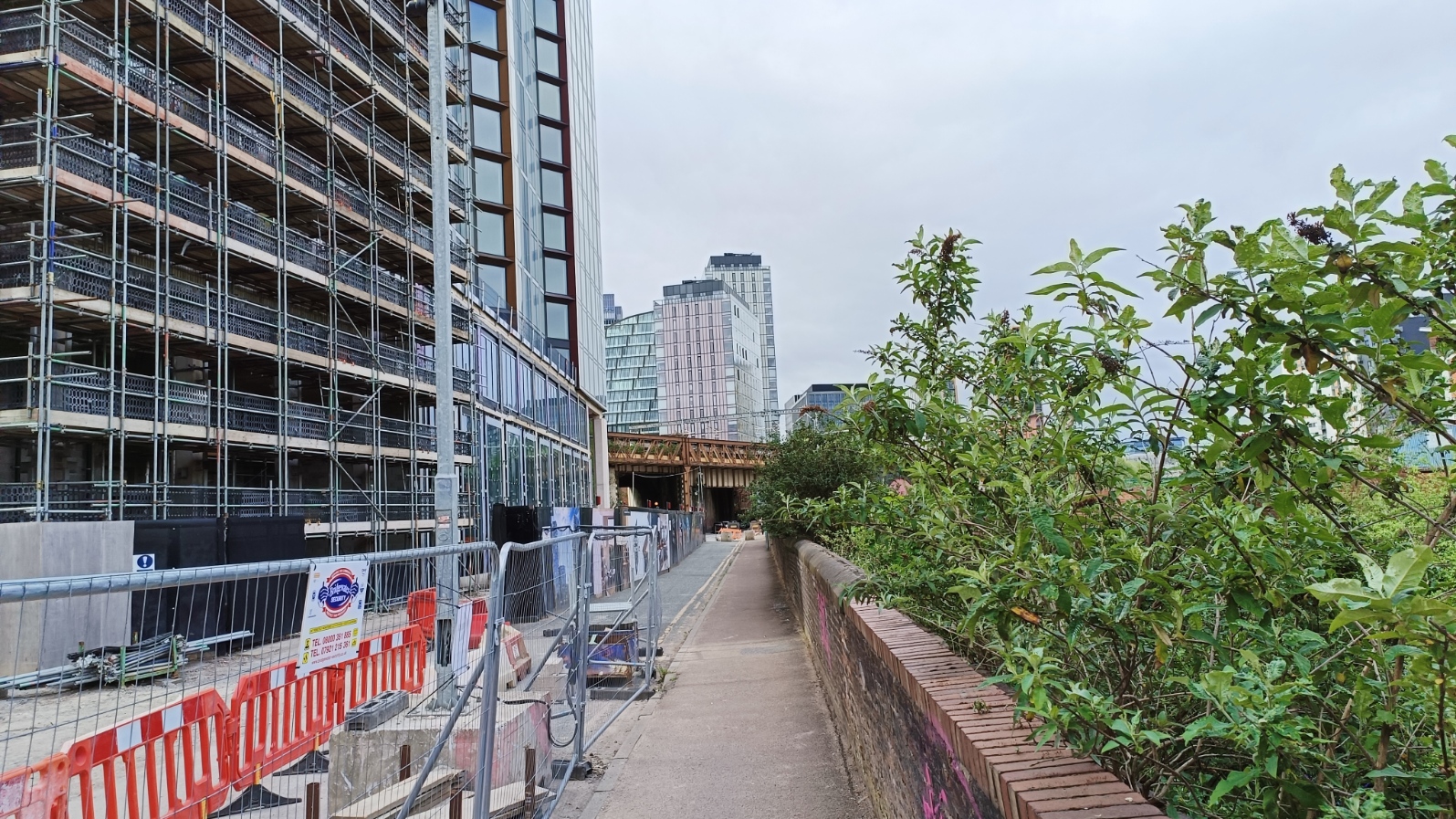
I walked along the old viaduct of this disused line, turning right through the second arch (the one after the one below!).

There is a lot of redevelopment work in this area, and Google told me roads were closed, but pedestrian access was still open, if not exactly glamorous.

This led to a small bridge over the river.

Again, building work on this side. This is looking back, the river is on the right, behind the wall. The apartments will be called "Riverside"; while it is on the side of a river, it is not one I would want to boast about, but perhaps they plan to landscape it?
There is a fair bit of light industry, the remains of the mills the river serviced. Note how thin the building is at the right - the river backs right on to it.

The road runs next to the river for a while. I did see some ducks here, but they eluded the camera.
There is another bridge; this is looking downstream from it.

Across from the bridge is a short flight of steps, and then an alley that leads to a culturally significant footbridge.

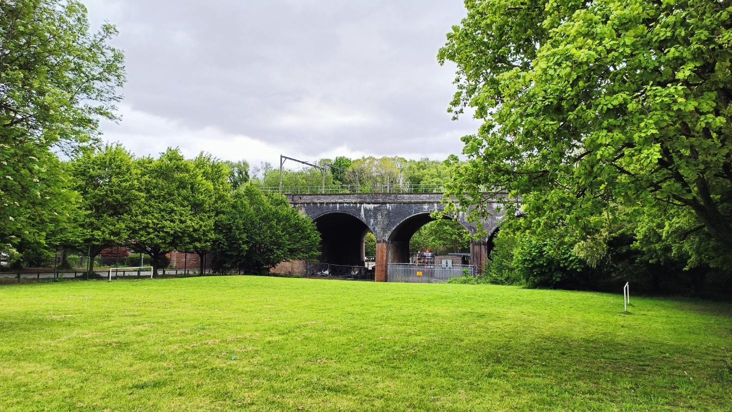
The bridge crossed the now disused line to Bury, and is about 80 m long to also span a number of sidings at this point. Its significance, however, is that it was the subject of a painting by LS Lowry, called the footbridge.

Back down to the road, and retracing our step a little bit, on the other side some shallow steps lead up to a curious modern sculpture called Peachstone Henge (or Egg Henge), created by artist Andrew McKeown to mark the millennium. You have to circle round to the left to find it.

Back down to the road, and a bit further along is HMG Paints. Look at the impressive structure on the roof.

Also visible in the distance is half a submarine, also part of the paint factory. This is called Dreadnowt (also spelt Dreadnawt), created by Jonathan Woolfende in 1992. The river is just behind it.

The tram line crosses the road shortly after. It splits, one line going to Bury, the other to Oldham pretty much at the point where it crosses the river. This is Smedley Viaduct, and was the site of an accident in 1959 when an electric train hit a steam loco, and the front coach of the former fell into the river, killing ten people.

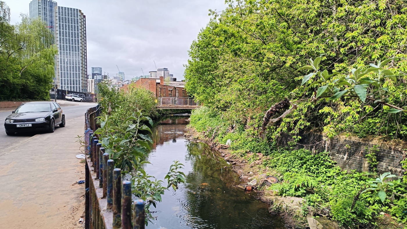
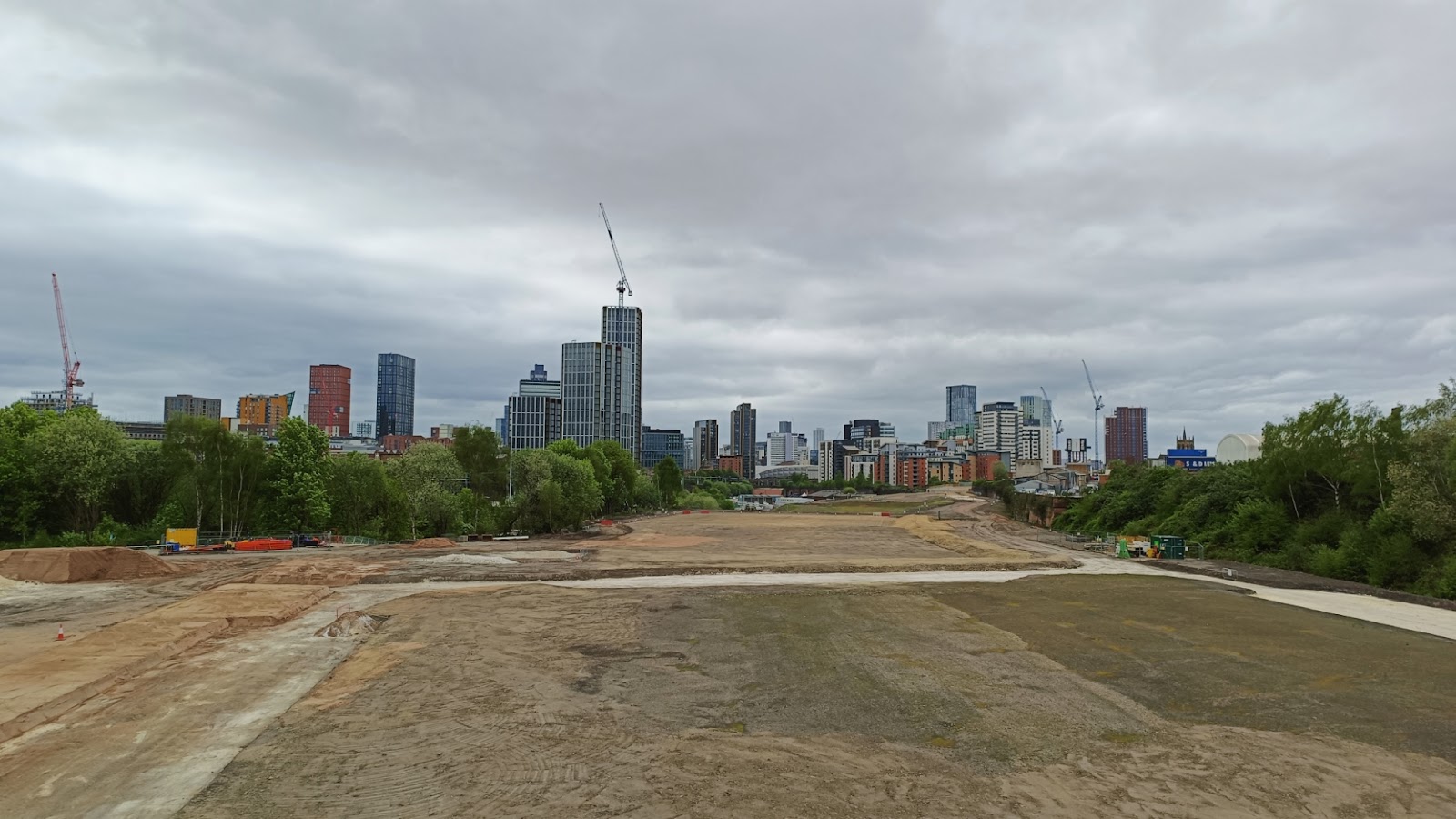
After going under the bridge, I headed down the sideroad on the left, which after a while becomes quite attractive. It turns sharply left, to cross the river. This is looking back at the viaduct.

And looking upstream, marking the furthest I actually got on the river.

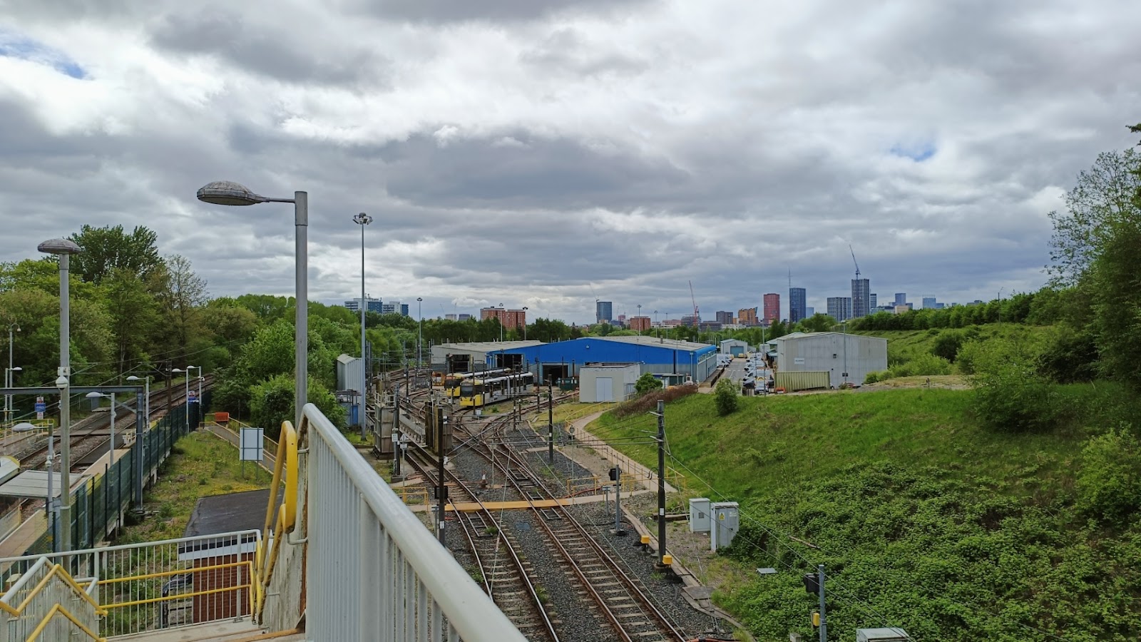
The road passes under the Oldham line, at the point where the old line that we followed previously joins here, but - plot twist - it is in use here to access a maintenance depot. Looking back from the other side:
The road takes us up to the A6010, which, turning left, takes us over the Bury line at Queens Road Station. From the road you can look down on the station, and also see where lines for the depot curve to the right, and would have at one time continued on to Manchester Victoria, over the viaduct I walked beside earlier.
But this is supposed to be about the river, so time to stop I think.


Comments
Post a Comment