Lincoln
Lincoln is a wonderful city to visit, with lots of interesting buildings, especially on the hill up to the cathedral and castle.
It is on the river Witham, which flows from the south, into Brayford Pool, and then heads east, towards Boston, and out into the Wash. The river has been used for communication for a very long time, and the first known settlement was on Brayford Pool, in the first century BCE. Originally named Lindon, meaning "pool", it later became a Roman settlement, with a fort built on the hill to the north, and the building of Fosse Dyke, connecting Brayford Pool to the River Trent - the oldest canal in England still in use - probably. When the Roman legion was moved to York, Lincoln was used as a place for legionaries to retire to, and became known as Lindum Colonia, which eventually became Lincoln.
William the Conqueror had the castle built in 1068 on the site of the Roman fort, and work on the cathedral started not long after in 1092. The city was very prosperous until the Dissolution of the Monasteries, which cut a lot of income. Its decline in importance probably helped preserve many of its oldest buildings.
The Hill
The hill is on the north side of the city, and is where the castle and cathedral are sited. The road leading up to them was originally Roman, and features many old buildings; it is called Steep Hill, and it does not exaggerate. It was originally part of Ermine Street, the Roman road from London to York.


At the top of the hill, the street becomes Bailgate, at which point a road to the right leads to the cathedral and to the left (below) to the castle.


The nearby Struggler's Inn sounds like it is ideal for people who have just hiked up the hill, but in fact references an earlier landlord who was the local hangman, and is named after those who struggled on their way to execution. Great real ale and a landlady who knows her stuff!


To the east, is a park called the Arboretum, notable for its maze.

Cathedral
The cathedral is impressive! It was free to enter when we were there, but normally charges apply.
It had a spire built on top of the present tower at the centre of the cathedral in 1311 - the first structure in the world to be higher than the Egyptian pyramids. The spire was destroyed in a storm in 1548, having been left in a state of disrepair.


Possibly the most famous feature - and the smallest - is the Lincoln imp, carved high up into a pillar at the far back left of the cathedral. If you look at the image below, just above where the pillar bifurcates, there is a slight protrusion; this is just an ordinary gargoyle. Just above that, inside the 'V', is the imp.

The proclamation of a new king was here, 12/Sep/22.

Castle

The Waterways
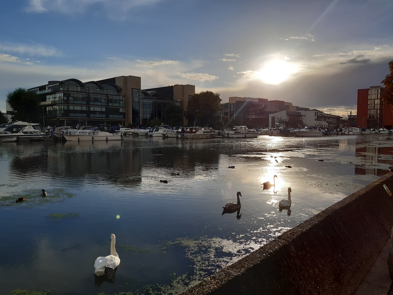
The area south of the hill is dominated by the Brayford Pool, with the the river to the east and Fosse Dyke to the west. Here is the lake at sunset from the northeast.
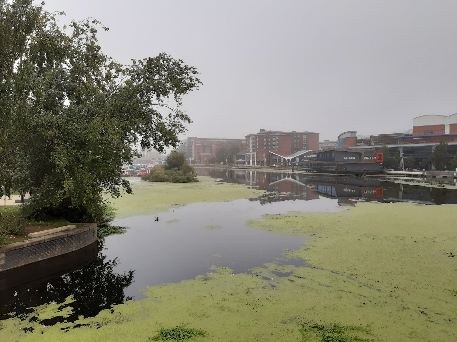
And early morning from the south.
The building with the curved roof just right of centre was Lincolnshire Motor Company Showrooms, built around 1960, with a "hyperbolic paraboloid" roof - just like a Pringle - and is a listed building.

To the west is Fosse Dyke, connecting Lincoln to the River Trent.
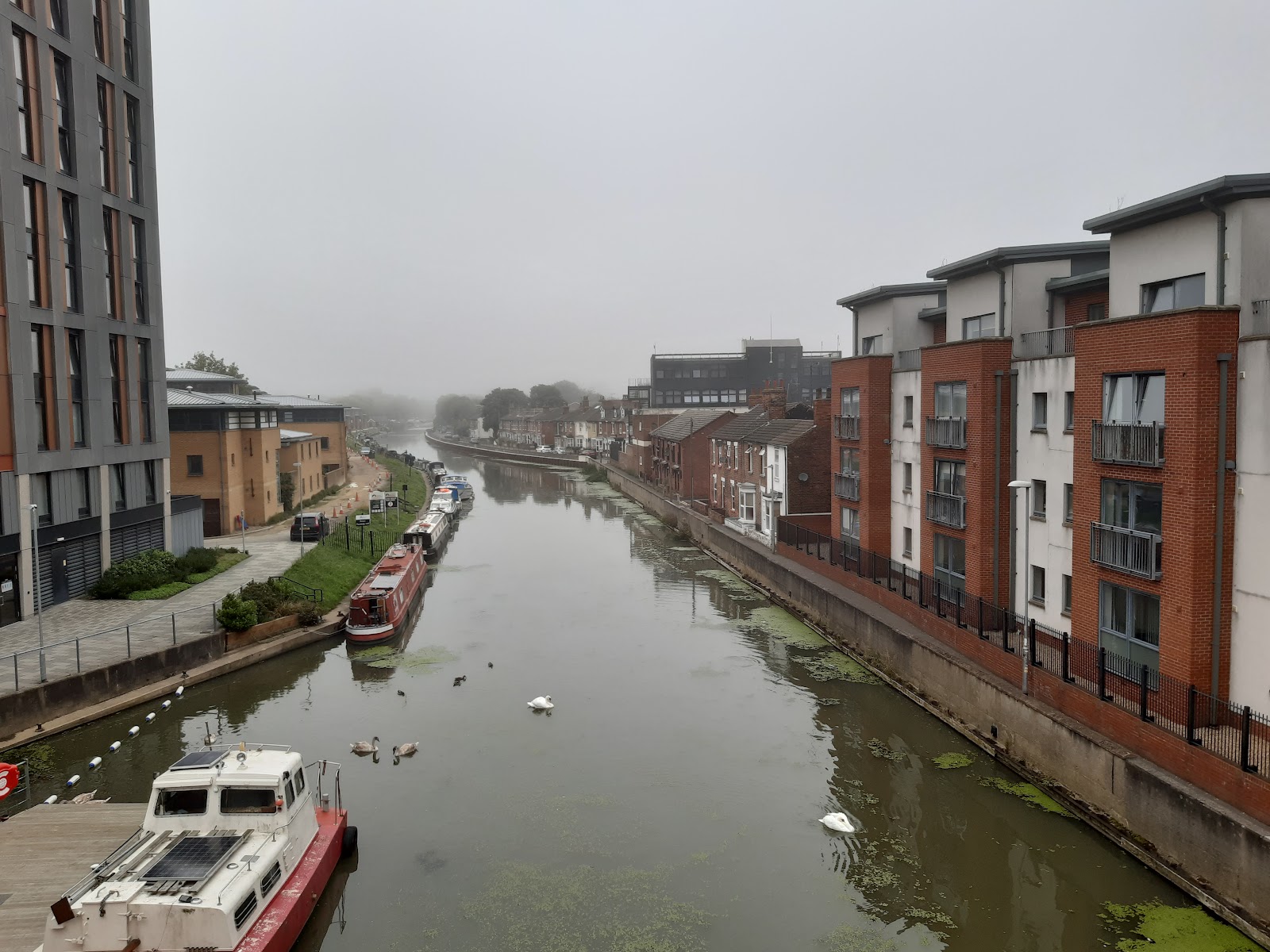
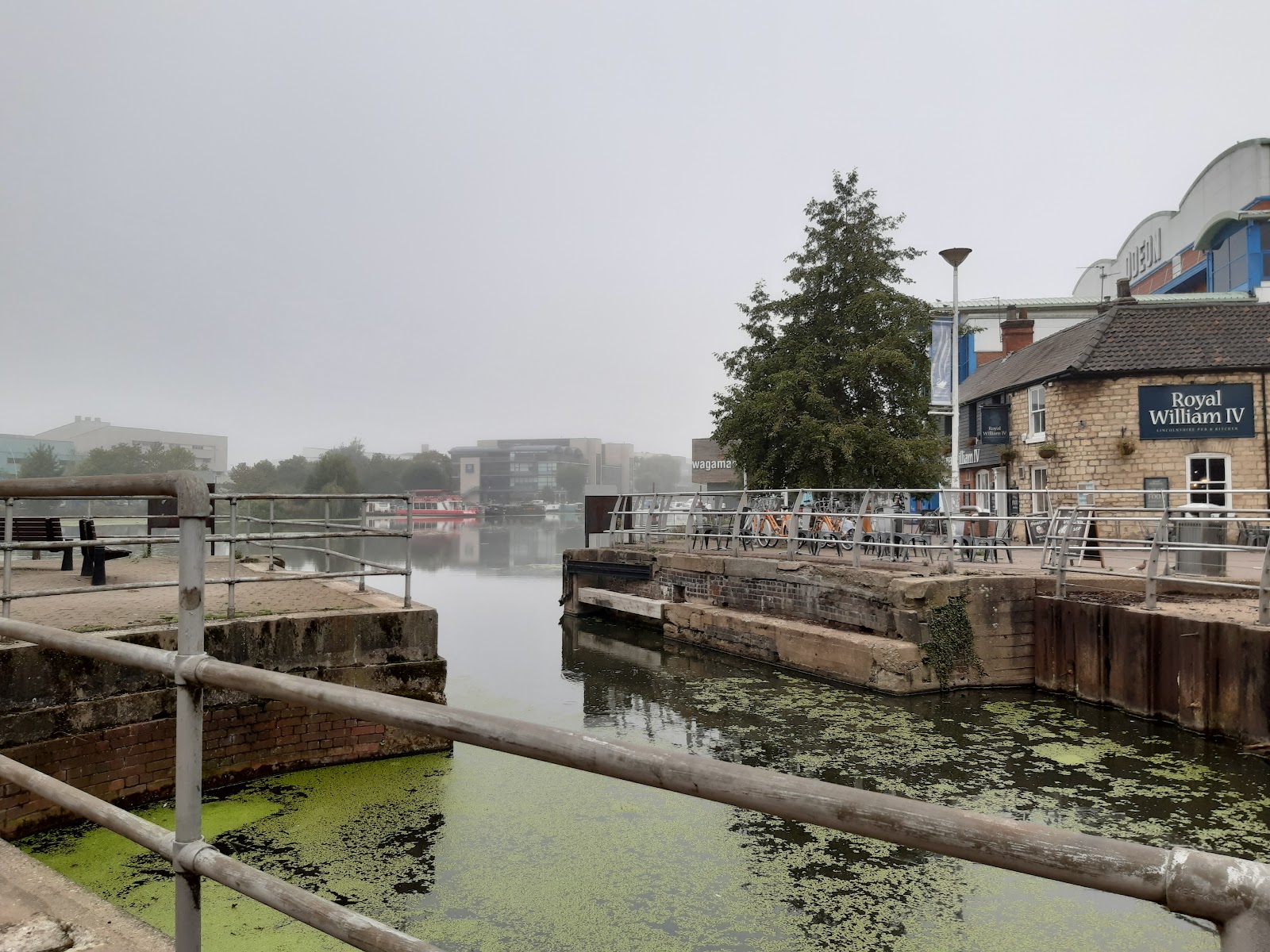
The river to the east is the more scenic - at least for a short distance. The remains of an old bridge can be seen where the river leaves the lake.
It passes under the High Street, the bridge has an old half-timbered building on it. Access to the river on this side of the road is via a very narrow alley beside the building.

And from the back...

Venturing up the High Street, towards the hill again, is the Stonebow and Guildhall, the Stonebow being the arch, which marked the entrance to the city.

In AD 211, a Roman gateway was built on the site. Through the arch, the High Street continues before becoming the Strait, which in turn becomes Steep Hill.
Further along the river, are two very old pubs, The Witch and Wardrobe, and the Green Dragon; sadly the former is for sale and the latter closed.

Beyond that, the area to the south of the river is industrial, and looks to have been developed in Victorian times, but is still active; a large area seems to be owned by Siemens. Many of the old buildings are still there, though possibly just as a shell. The iron footbridge makes a nice feature.

The Railways
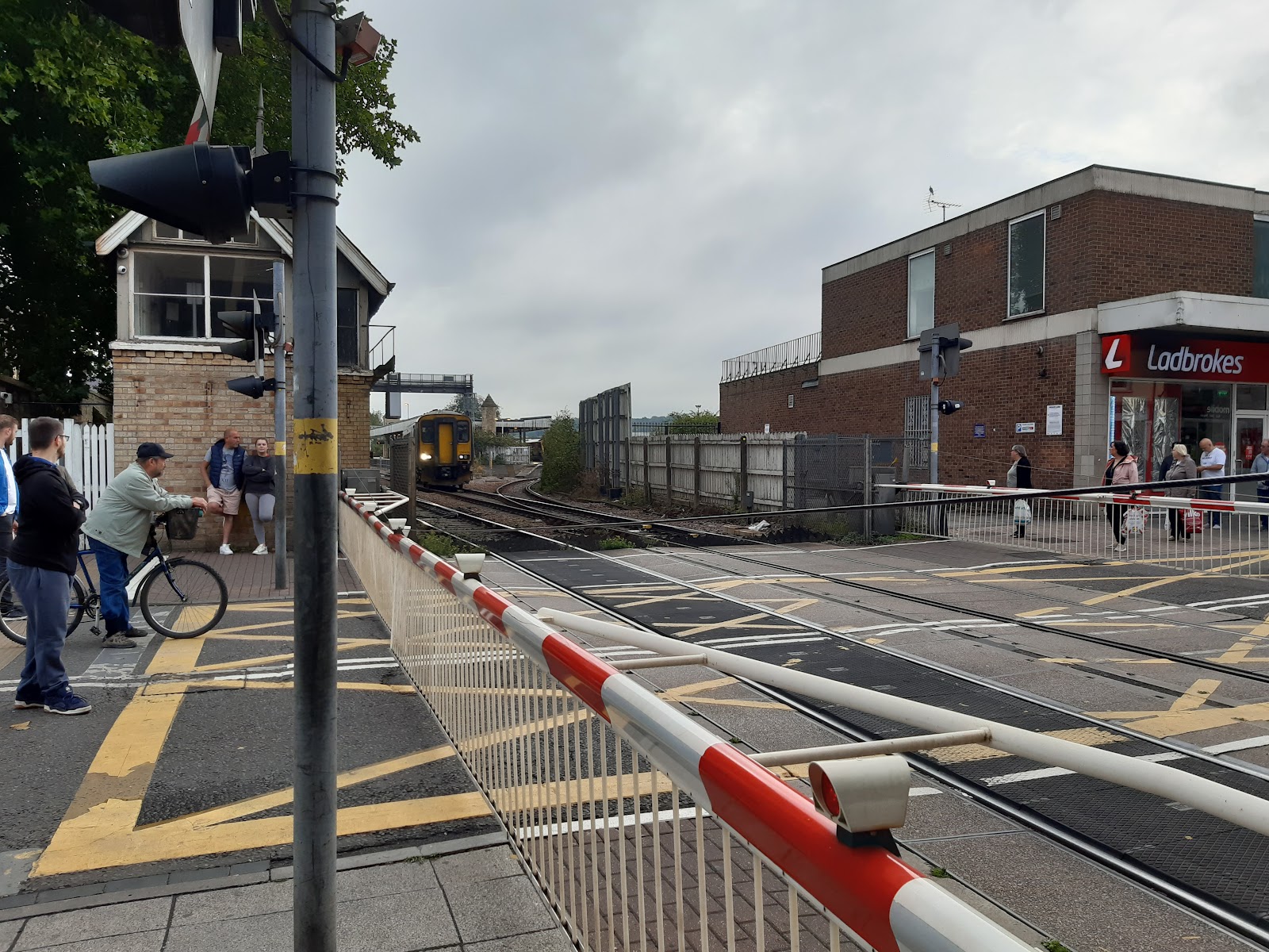
South of Brayford Pool, this area was dominated by railways at one time. Lincoln Central Station is on the east side of the High Street, with Lincoln St Marks a little to the south, and on the west side of the High Street. Both railways crossed the road at level crossings, resulting in a lot of traffic congestion.
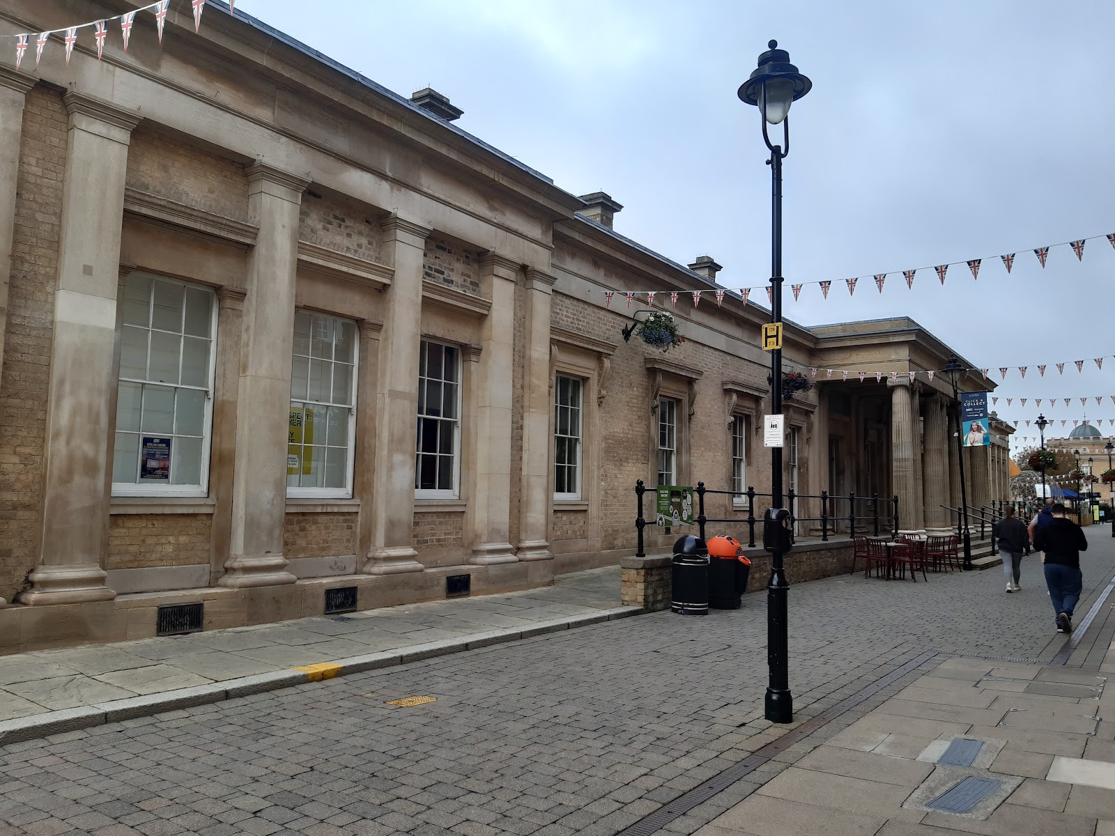
Lincoln St Marks was closed in 1985, when a new rail link was built allowing all trains to use Lincoln central, and this section of the High Street was somewhat pedestrianised. Alternative routes bridge the railway instead, so the situation is much improved. St Marks station building has since been incorporated into a shopping centre.
Lincoln Central can be seen a short way down the track from the level crossing.
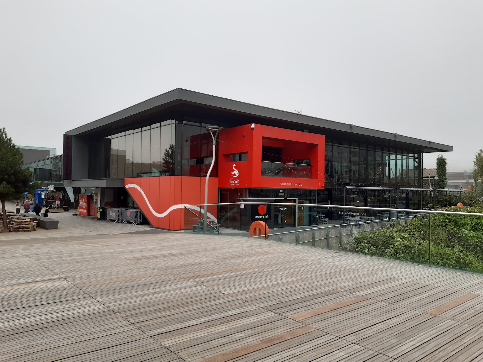
Much of Lincoln University is on land that was reclaimed from Brayton Pool originally for railway use. The is the Student Union.
Heading South
Continuing along the High Street, and I have to be honest, this part is not as nice, though there are some attractive buildings scattered among the rest. This is the Treaty of Commerce.

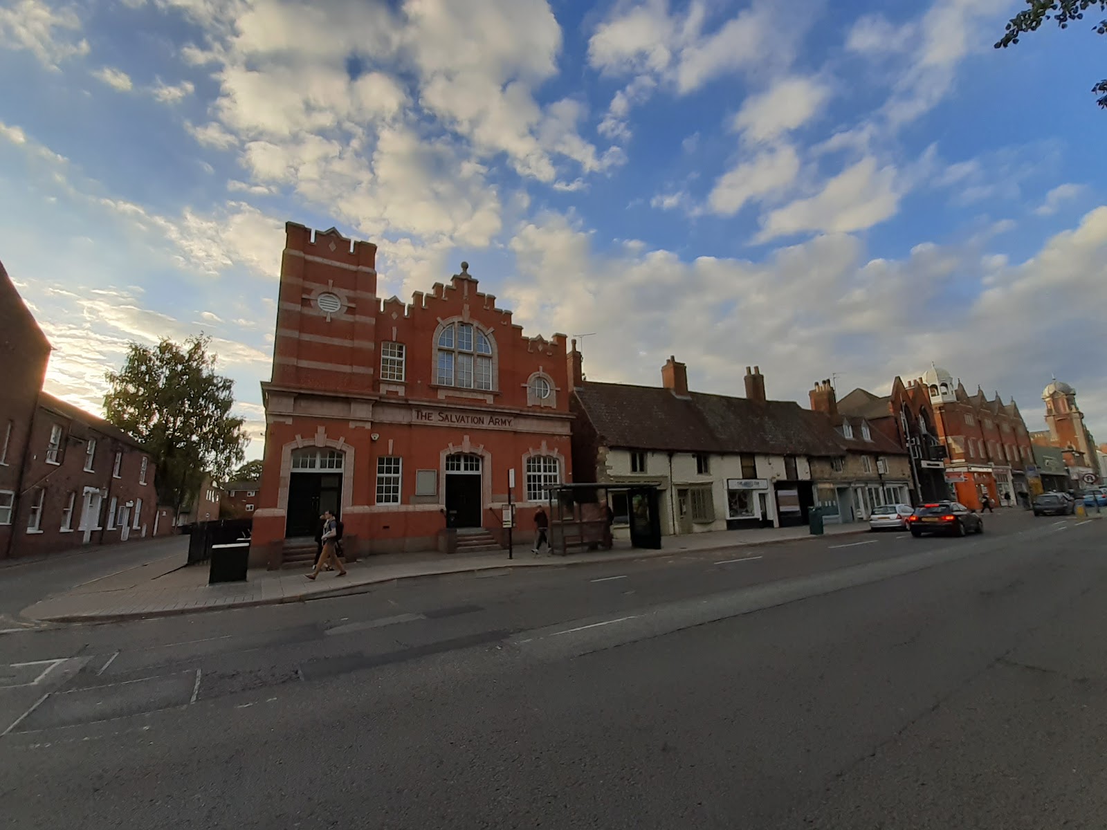
The Salvation Army has an impressive building. The two properties to the right are a tiny micropub called the Tiny Tavern.
On the other side of the road is St Peter at Gowts; the church dates from the 11th century.

The Gowt is a drainage ditch to the south of the church. No water when I was there.


Comments
Post a Comment