Bridgewater Canal, Manchester
The Bridgewater Canal was one of the first in England, the first stretch from Worsley to Manchester opening in 1761. Its construction inspired canal building across the country, and the flow of coal into Manchester kick-started the industrial revolution. It later extended west to Leigh, where it meets the Leeds-Liverpool Canal, and also to Runcorn.
On a bright, windless day in October, I got off the train at Deansgate Station, and took a tram two stops to Pomono. From there I walked the last couple of miles of the canal into Manchester.
Pomono station is at the west end of Pomona Island, a long sliver of land between the Ship Canal on the north and the Bridgewater Canal on the south. For a time it was home to Royal Pomona Palace, taking its name from the Roman goddess of fruit trees. This was a place of entertainment, and there were pavilions and botanical gardens. However, it was surrounded by industrial sites, one of which exploded in 1887, causing significant damage from which it did not recover. It became an industrial site for a while, but most of it is now derelict, though the west end is attractive.
This is the view upriver; note the cormorant in the water.


The Bridgewater Canal is on the other side of the station. I walked westwards a short way to cross over to the towpath.
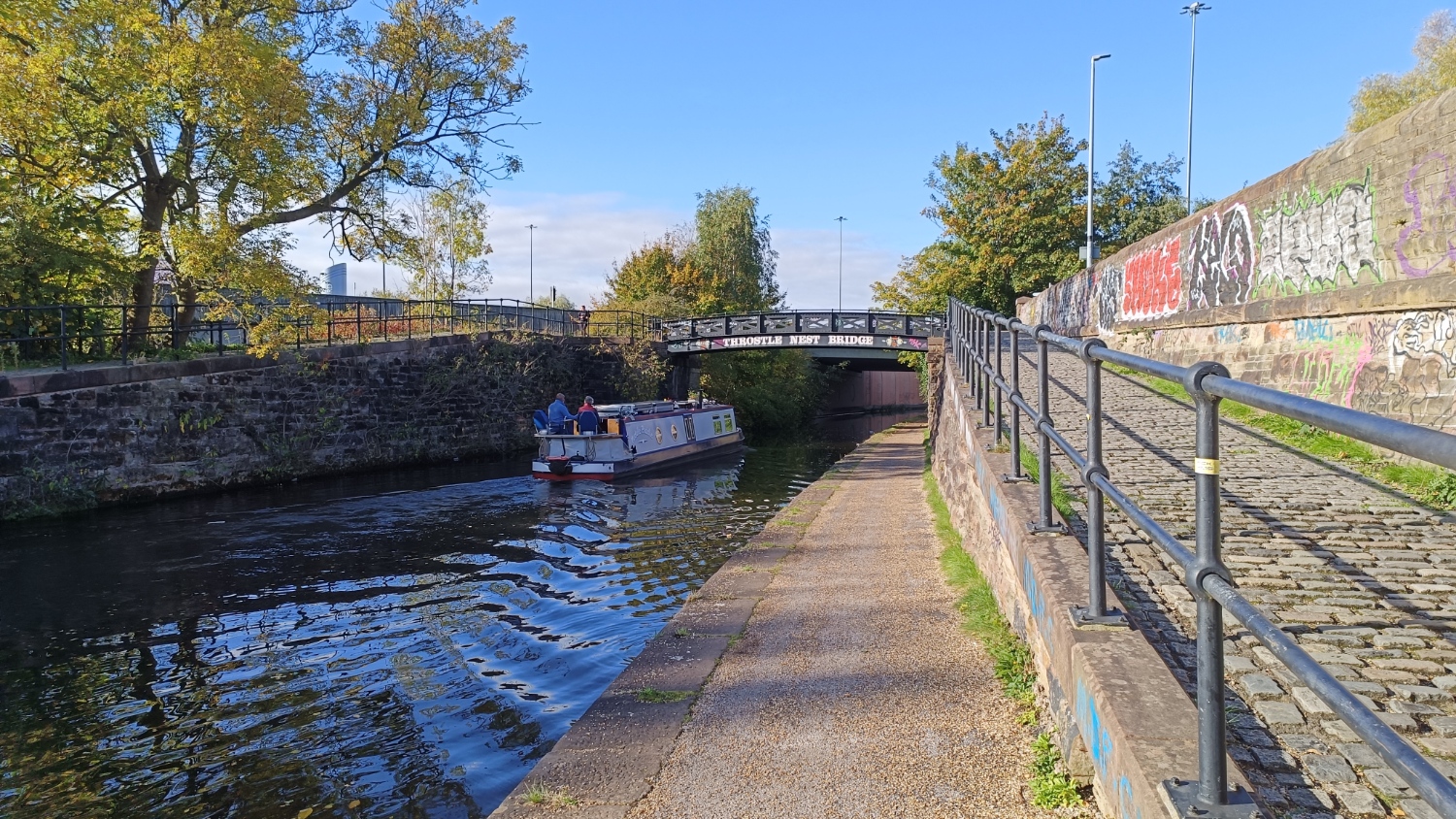
The towpath takes you past Pomono station; when the conditions are right, it contrives to look quite attractive.

This is Pomono Lock, in a somewhat decrepit state. It connects the Bridgewater, to the Ship Canal, via Pomono Dock Number Three.

This view is not much more than a mile from Oxford Road station; looks like it is out in the countryside!


Looking back at the above bridges, note the little bridge on the left. this gave access to one of several docks.

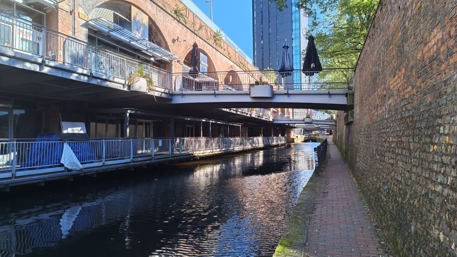
This footbridge seems to mark the entrance to Castlefield on the canal.

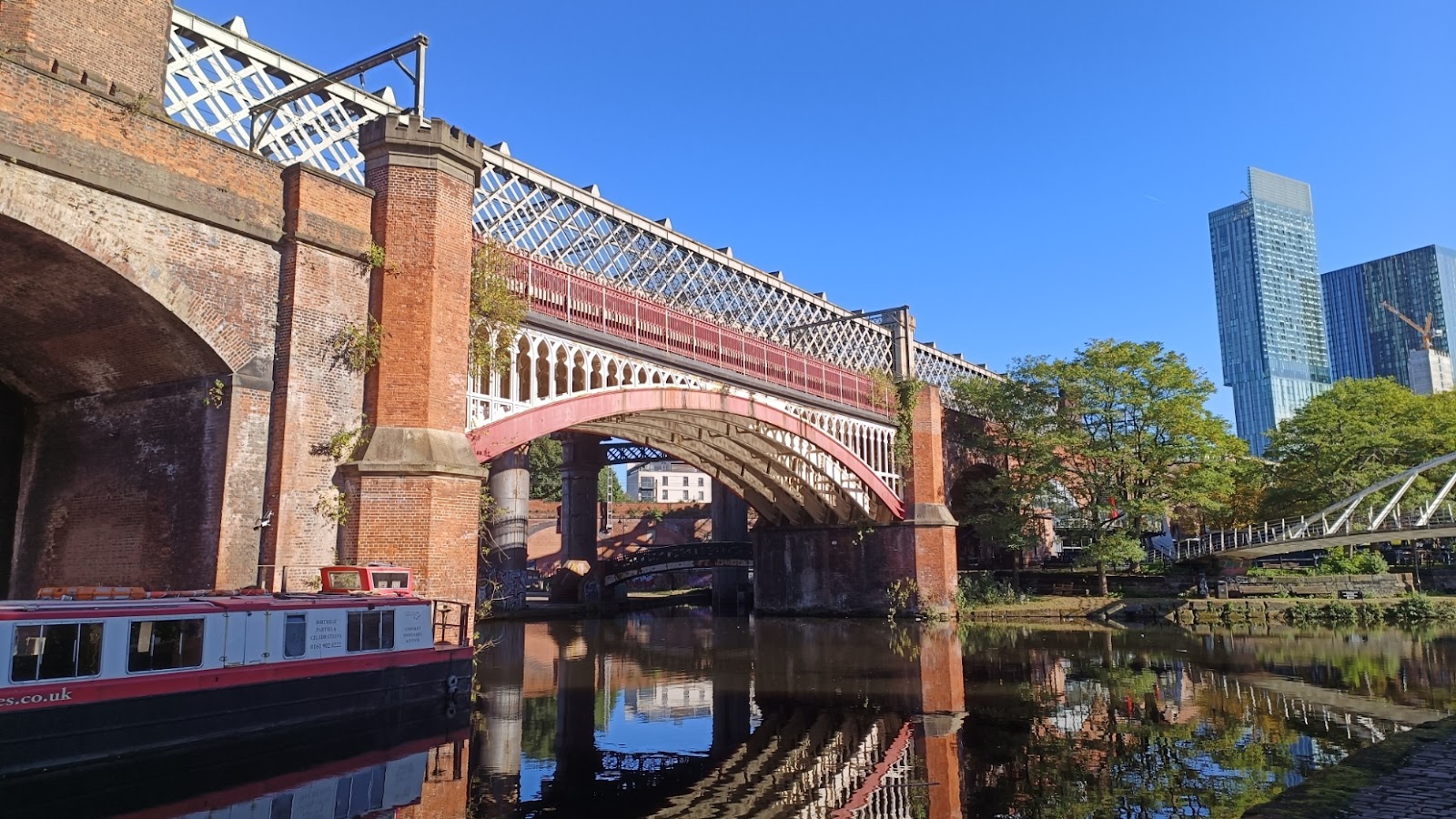
You can see here the confusion of bridges in the area. The cast iron arch bridge is the existing railway west out of Deansgate. Behind that, the lattice bridge carries the tram, and behind that is a second lattice bridge, now disused - you can only see the supports from here. Below them is an ancient footbridge, whilst on the right a very recent footbridge.
Passing under the modern footbridge, you can see where the Rochdale Canal joins the Bridgewater.

This was a godsend for the Bridgewater. Previously it had taken its water from the River Medlock, which got steadily more and more polluted, and consequently the canal got more and more polluted. When the Rochdale arrived, they could take water from that instead. This did involve building a tunnel to take the Medlock under the two canals.
Looking back at the bridges discussed earlier.

The Bridgewater curves round almost to the Rochdale, where it terminates. A short walk, then. to the Rochdale Canal.

This brings us back to the start - this is looking east along the Rochdale Canal, with Deansgate Tram Station on top the arches on the left.


Comments
Post a Comment